
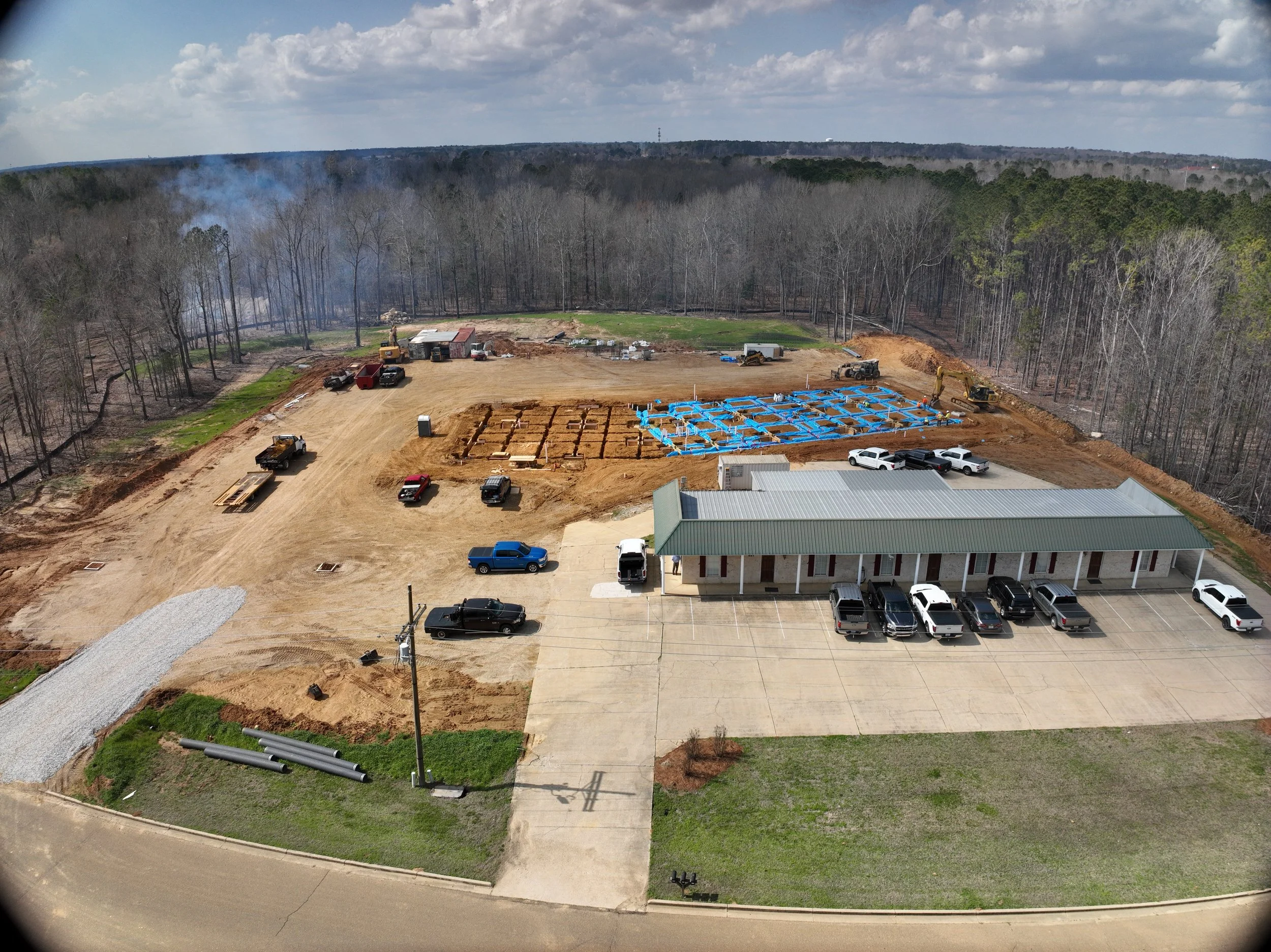
Premier Drone Services, Powered by Precision and Innovation.
Aerial Data Products
Orthomosaic Aerials
An orthomosaic is a high-resolution aerial map created by combining hundreds or thousands of overlapping photographs captured by a drone or aircraft. Advanced photogrammetry software processes and stitches these images together into a single, seamless image that is geographically accurate and scaled to real-world coordinates.

Unlike a standard aerial photograph, an orthomosaic is corrected for camera distortion, terrain variation, and perspective. This correction allows distances, areas, and locations to be measured accurately directly from the image.

Orthomosaic maps provide a detailed, up-to-date view of a site and are commonly used for:
Site planning and developmentConstruction progress monitoringEnvironmental assessmentsMining and aggregate operationsInfrastructure inspectionsStormwater and drainage evaluationsAgricultural and land management applications
The resulting map offers a level of detail that is often difficult to achieve through traditional surveying or satellite imagery, making orthomosaics a valuable tool for engineers, developers, landowners, and project managers seeking accurate site documentation and analysis.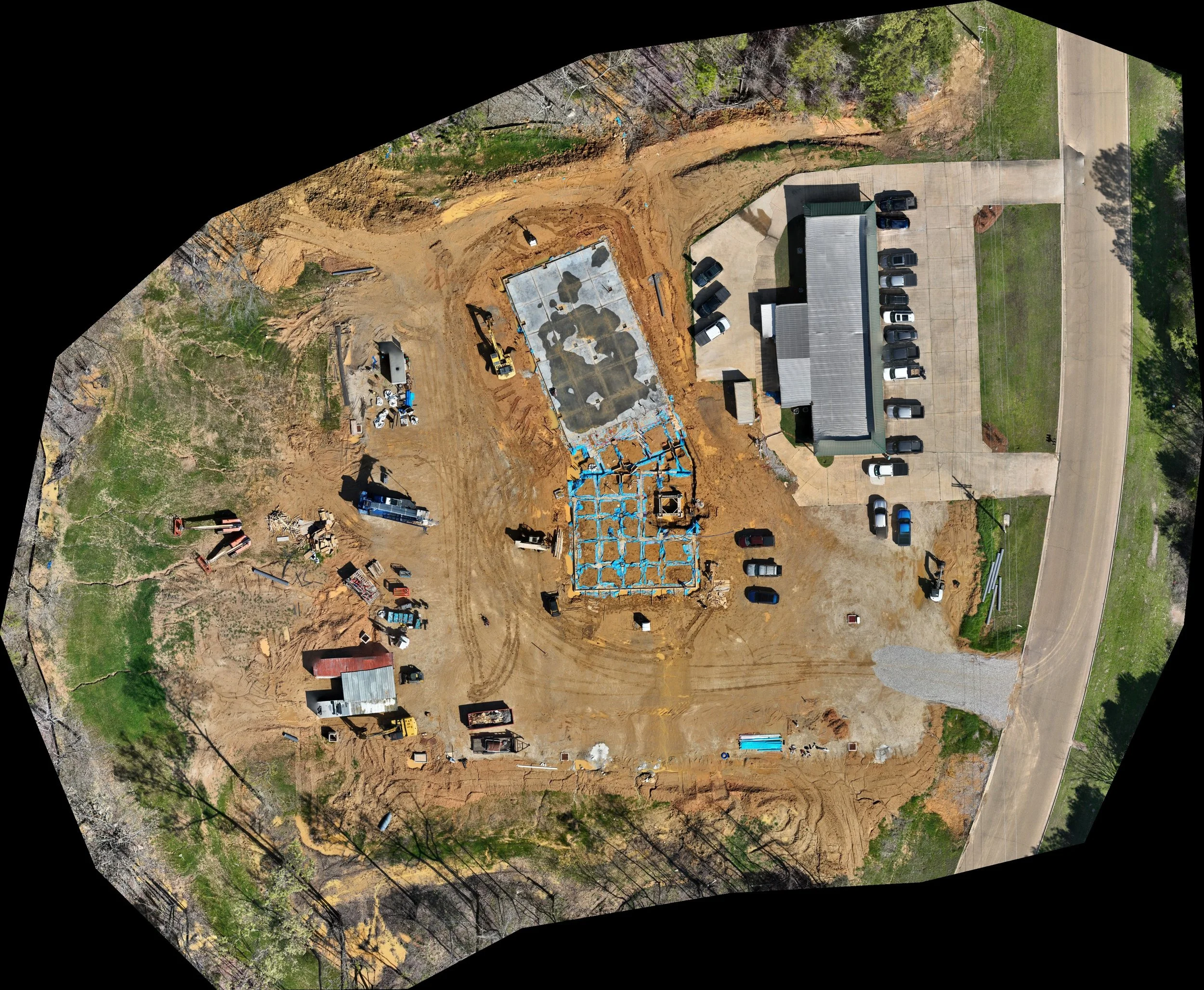
Still Photography
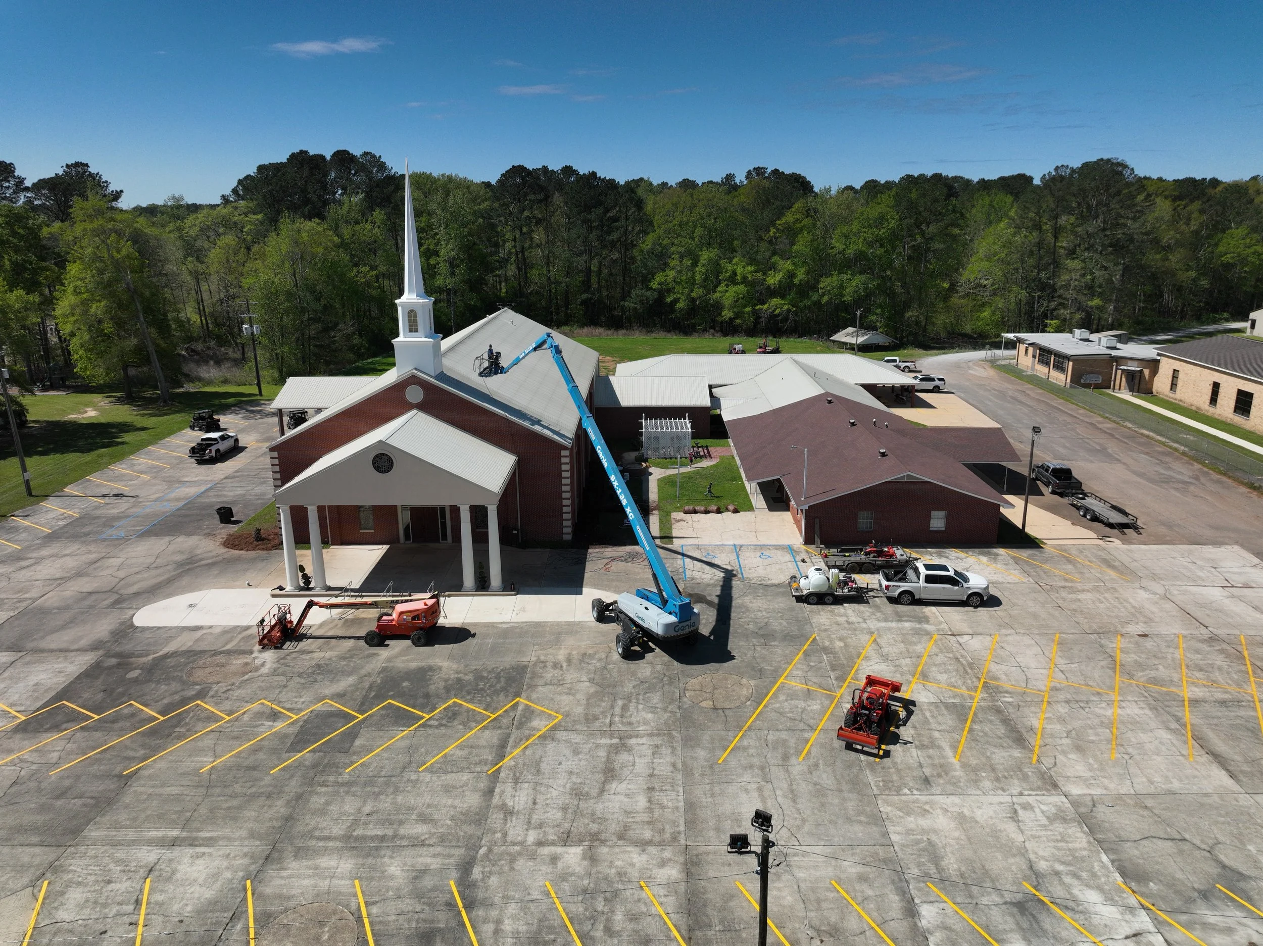
Drone photography involves capturing high-resolution aerial images using unmanned aircraft systems to provide a detailed, top-down perspective of a site or project. These images are processed and delivered as clear, georeferenced visuals that document existing conditions with precision.

Unlike ground-based photography, drone imagery provides full site context, showing layout, access points, surrounding features, and project progress over time. This makes it a powerful tool for both technical documentation and visual communication.

Drone photography is commonly used for:
Construction progress documentationSite planning and developmentReal estate marketing and listingsEnvironmental and land assessmentsInfrastructure inspectionsstakeholder reporting and presentations
The result is accurate, high-quality imagery that improves understanding of site conditions and supports better decision-making across all phases of a project.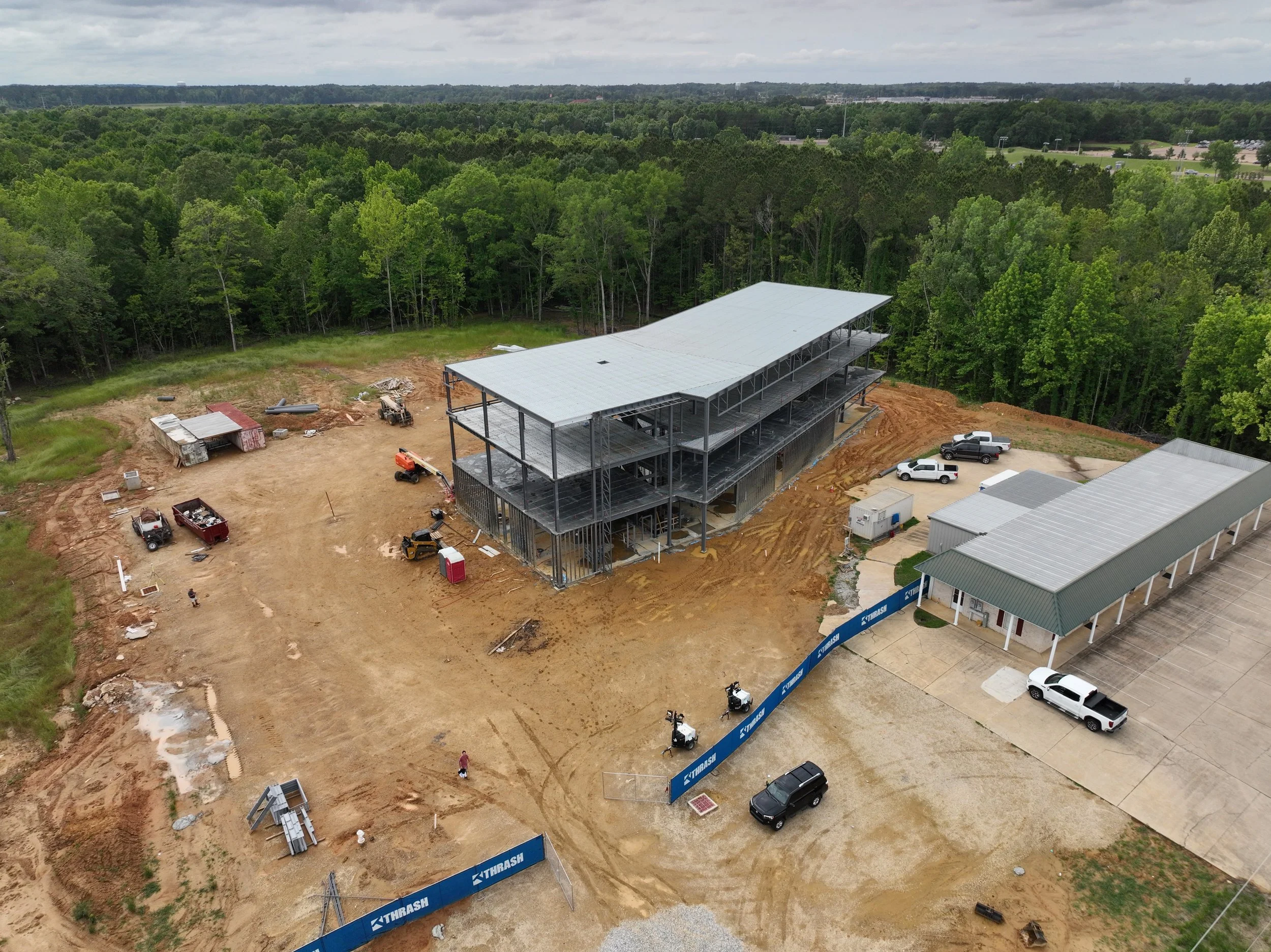
Drone Videography
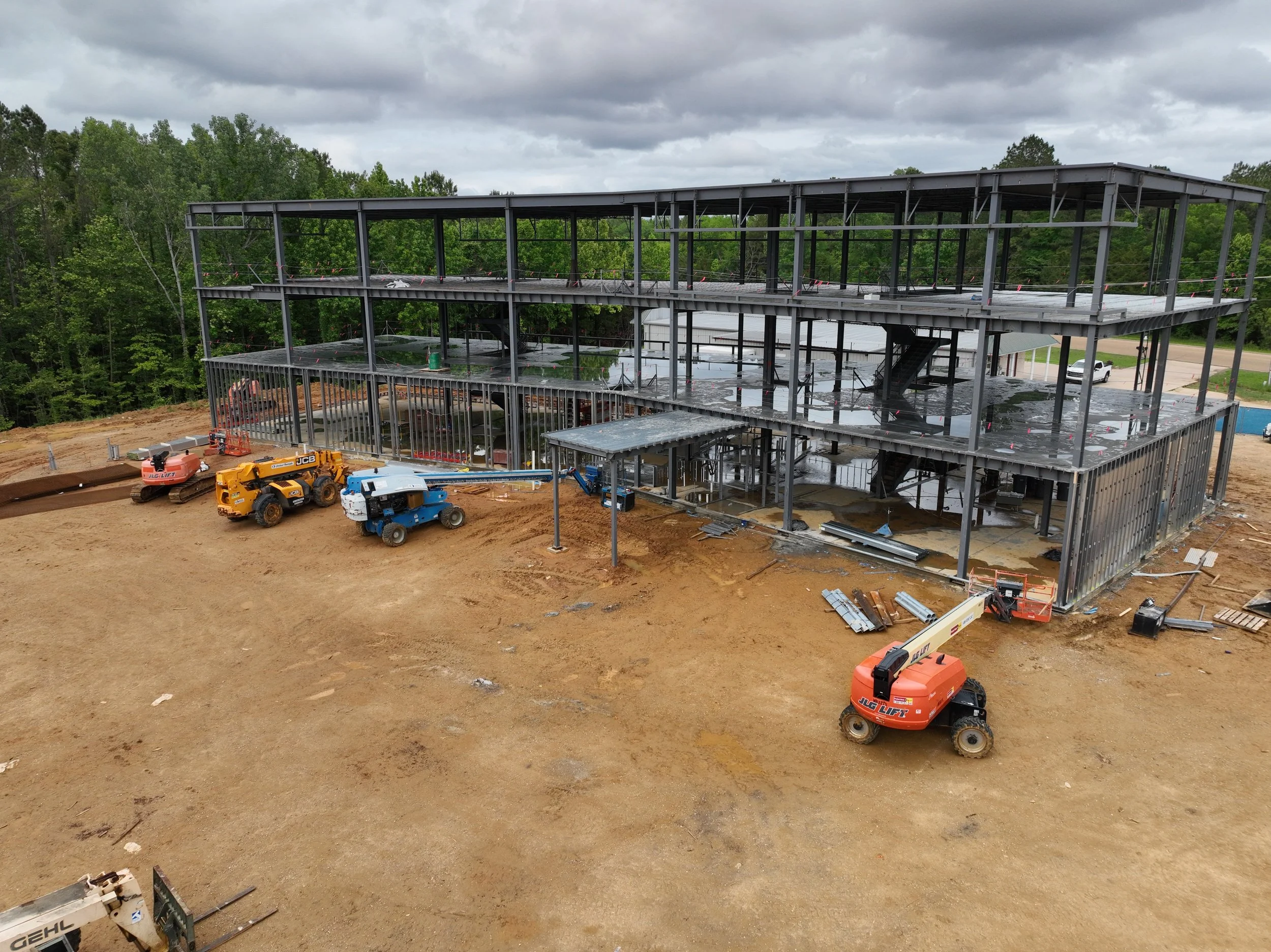
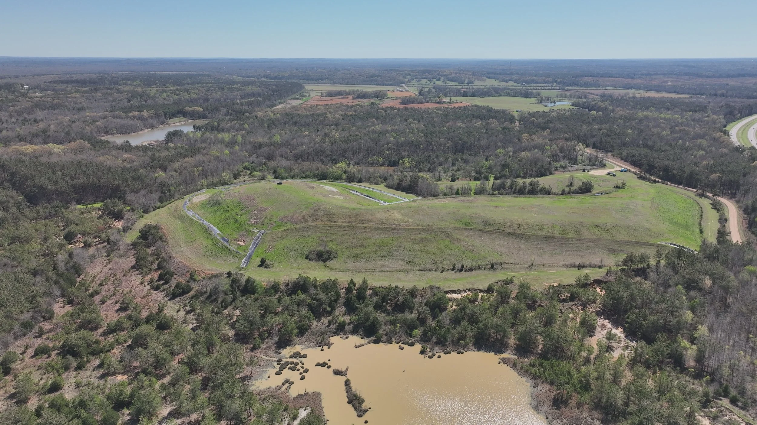
Drone video captures smooth, high-resolution aerial footage that provides a dynamic and immersive view of a site, project, or property. These videos are produced using stabilized camera systems to ensure professional-quality motion and clarity.

Aerial video is especially effective for communicating scale, progress, and context in a way that still imagery cannot achieve. It is commonly used to document construction milestones, showcase project features, and create compelling visual presentations.

Drone video is commonly used for:
Construction progress updatesProject presentations and stakeholder communicationMarketing and promotional contentSite inspections and reportingInfrastructure and environmental documentation
The result is engaging visual content that enhances communication and provides a clear understanding of site conditions and development over time.3D Models & Elevation Models
3D models and elevation models are generated from drone-collected imagery and data to create accurate digital representations of a site’s terrain and surface features. These models allow users to visualize real-world conditions in three dimensions and analyze elevation changes across a project area.

3D models provide a realistic spatial view of structures and terrain, while elevation models (including digital surface and terrain models) represent ground and surface heights for detailed analysis.

These tools are commonly used for:
Site planning and designTopographic and slope analysis Drainage and watershed studiesEarthwork and volume calculationsConstruction progress trackingEnvironmental and land development projects
Together, these models provide a deeper understanding of site conditions, improving accuracy, efficiency, and decision-making throughout the project lifecycle.